Burt's Trip to Mount Desert Island in Maine Labor Day Week 2007
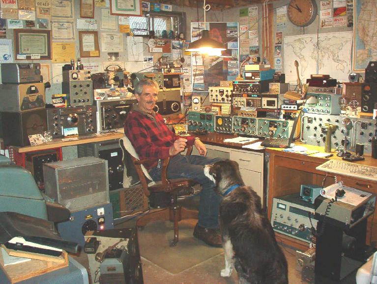
Now on a trip to Mt. Desert Island why would I put a picture of a man, a dog, and tons of old radio equipment? The is Alex, ham radio call AI2Q (old call-WA2IKT) who I met on the air in 1960 when I was in Connecticut, he in Long Island. On my way to Mt. Desert Island I stopped to see him in Kennebunk, Maine. We spent two hours as he toured me of his station and talked about our lives. He is VERY talented.
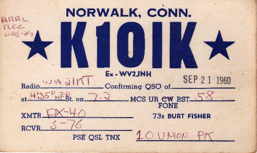
This cannot be of interest to anyone, so why is it here? It is my web page and it is a "QSL" card I sent to Alex (above) 47 years ago. He still had it and gave it to me.
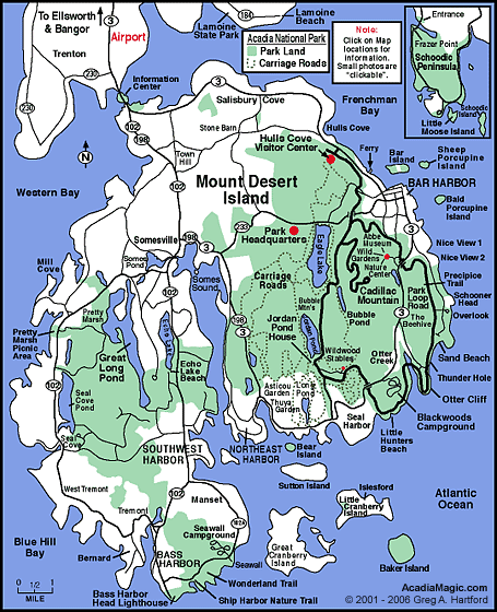
This is a map of Mt. Desert Island (pronounced Dessert). I went to everything in green and some places in white.
I like climbing mountains and this was Beech Cliffs over looking Echo lake. It was not too high but very steep. I only got lost once.
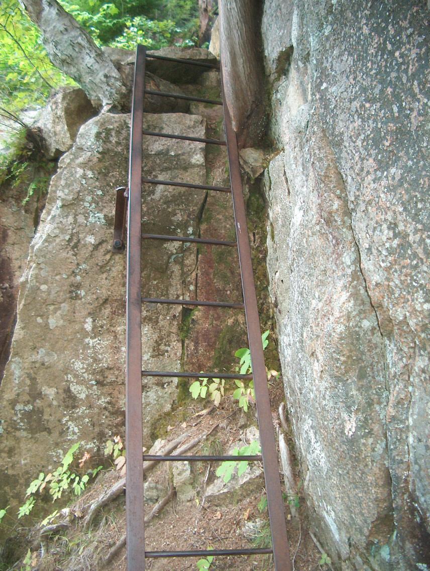
There were four ladders to climb it was so steep, it is considered strenuous, sweat poured off as it was humid.
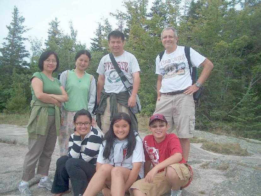
On the top I meet a Chinese family, they laughed at me because they came up from the other side where there was a parking lot and a 10 minute, no sweat, walk. My daughter knew this was NOT one family because in China you only get one kid.
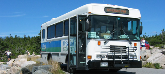
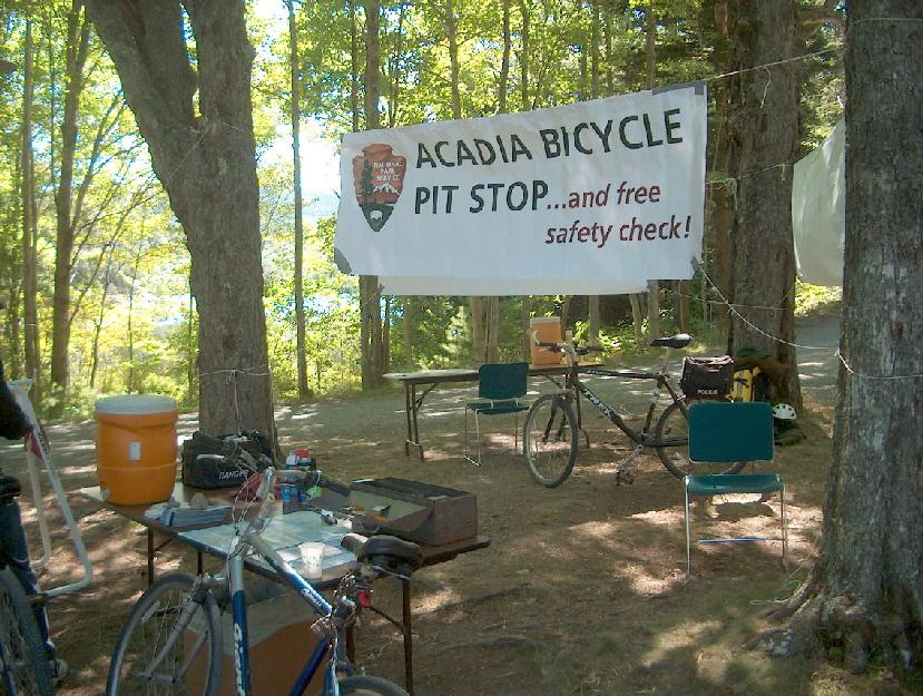
These busses give free rides all around the Mt. Desert Island. However they are very slow. When I was on my bike in the Acadia National Park I opted to bike to Bar Harbor rather than take the bus. I beat the bus by 15 minutes. On most routes they could beat me. I took the bus to my campground. They stop at all the major campgrounds.
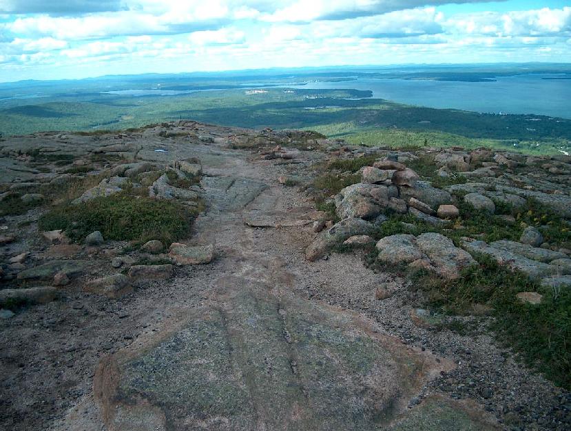
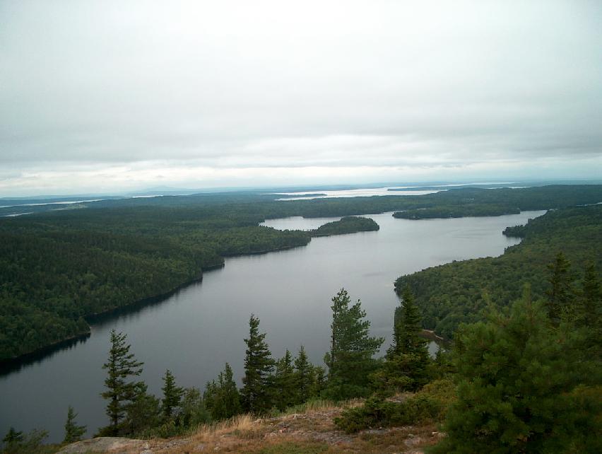
I next hiked up Cadillac Mountain, the highest mountain on the Island and the first place you can see the sun rise in the USA at 1530 feet. It was one of the better hikes as the views most of the way were quite good and the path fairly obvious. I only got lost once coming down.
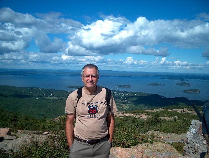
On top of Cadillac Mountain, the only problem is there is a road going up so the cheaters can drive up. There were about 500 people on top. About 450 did not hike. At this location there was a ranger pointing out all kinds of birds, hawks etc. They all looked the same to me.
.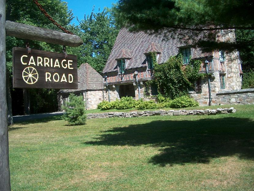
After two days of hiking I decided to take it easy (so I thought) by biking on the Carriage Road. The Carriage Roads are the best example of turn of the century “broken stone” roads in America today. Granite from Mount Desert Island was quarried by the construction crews for road material and bridge facing. Native vegetation such as fern and wild blueberries was tastefully used to landscape the roadside. I thought I would see many scenes like this, this is the only scene I saw like this.
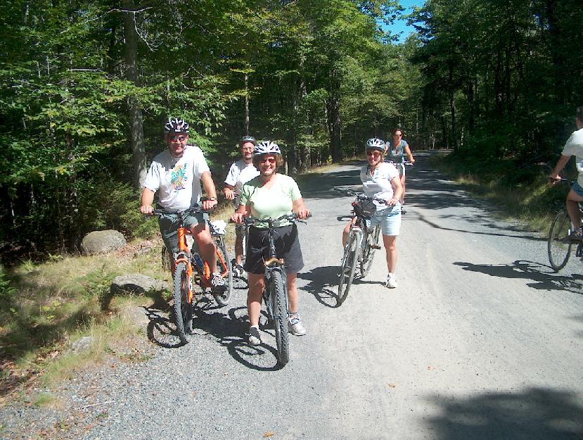
Most scenes were like this, up some pretty good grades. These stupid people were resting, that is not stupid but with sweat pouring off might they seek the shade? The road is loose gravel.
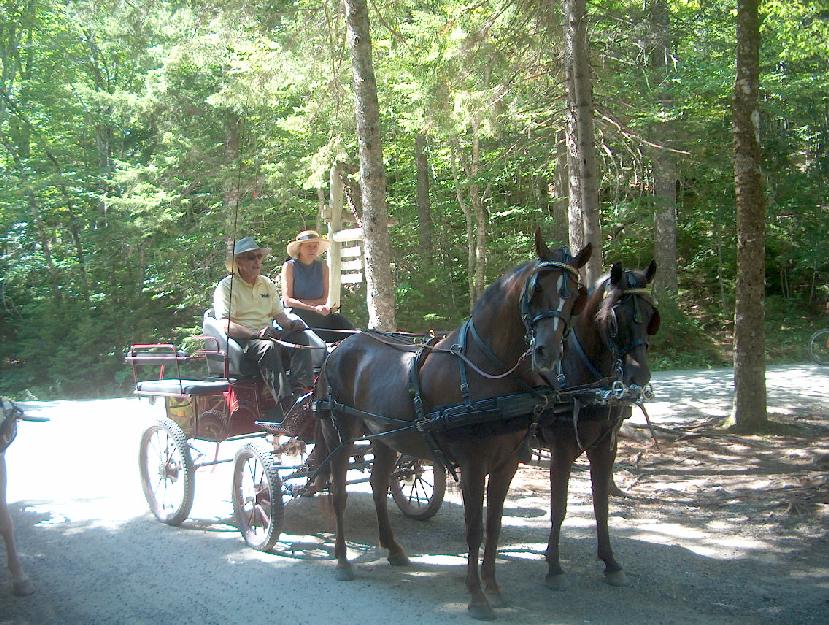
The Carriage Roads were very well marked and there were many horses and their dropping to contend with. I biked up Day Mountain, thought I would die, used my lowest gears. But I made it. However reached almost 30 MPH coming down. The hills on Cape Cod are nothing.
That is my bike up front