Burt's Visit to Arizona January 2008
Arizona was supposed to be warm, do I look warm?
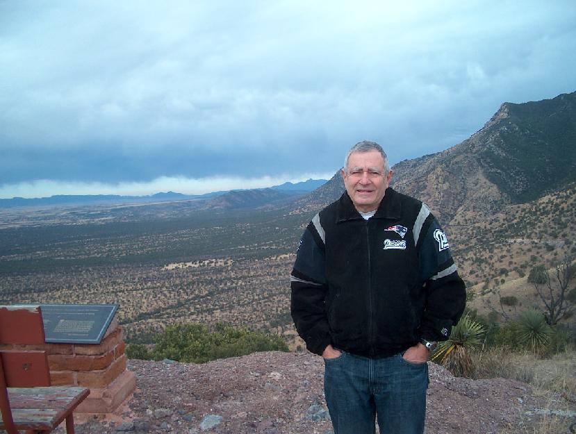
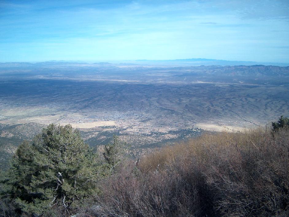
This is atop Coronado Peak where Mexico is in the background.
I
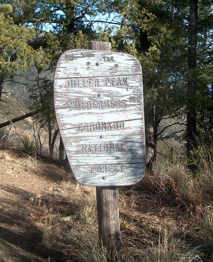
decided to hike up Miller Peak Miller Peak is the tallest Peak
in the Huachuca Mountains. Here the temperture was about 60
degrees. At an elevation of 9,466 ft, it is the highest southern
most peak in the US. Be CAREFUL FOR ILLEGALS, MOST
ARE HARMLESS, SOME HOWEVER CARRY RIFLES TO PROTECT THEMSELVES AND
DRUGS.
Lots of Hispanic product wrappers, bottles, etc. And I do mean
lots. Some places looked like junkyards. Illegal immigrants?
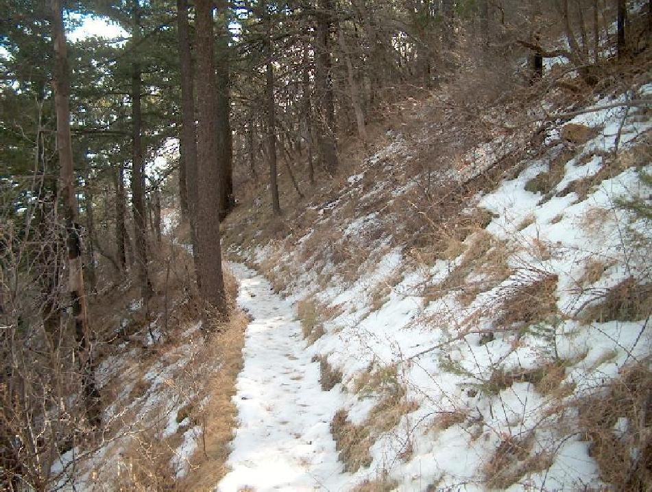
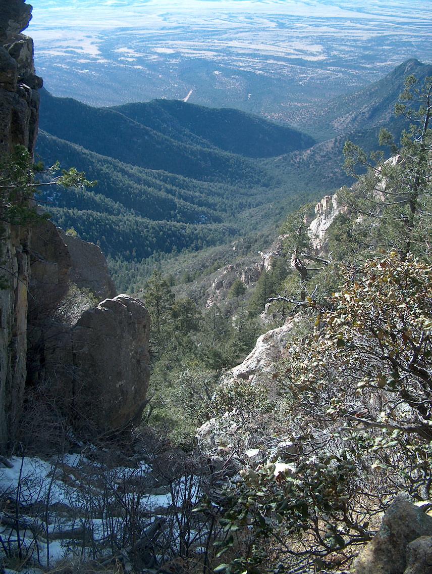
As I got higher, it got a bit cooler, but still the trail was not too bad although the snow had an icy cap.
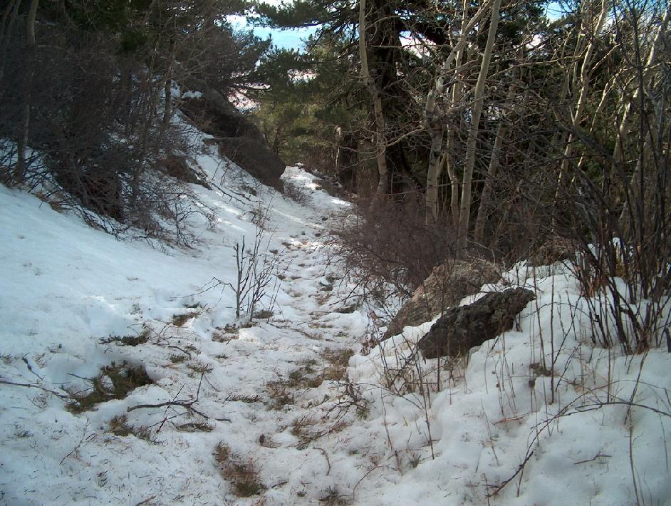
I originally thought the top was at 9050 feet. This is 9050 feet, it was not the top. In fact the snow was 2 feet deep here. However the effort caused me to wear no coat but I wondered where the top was.
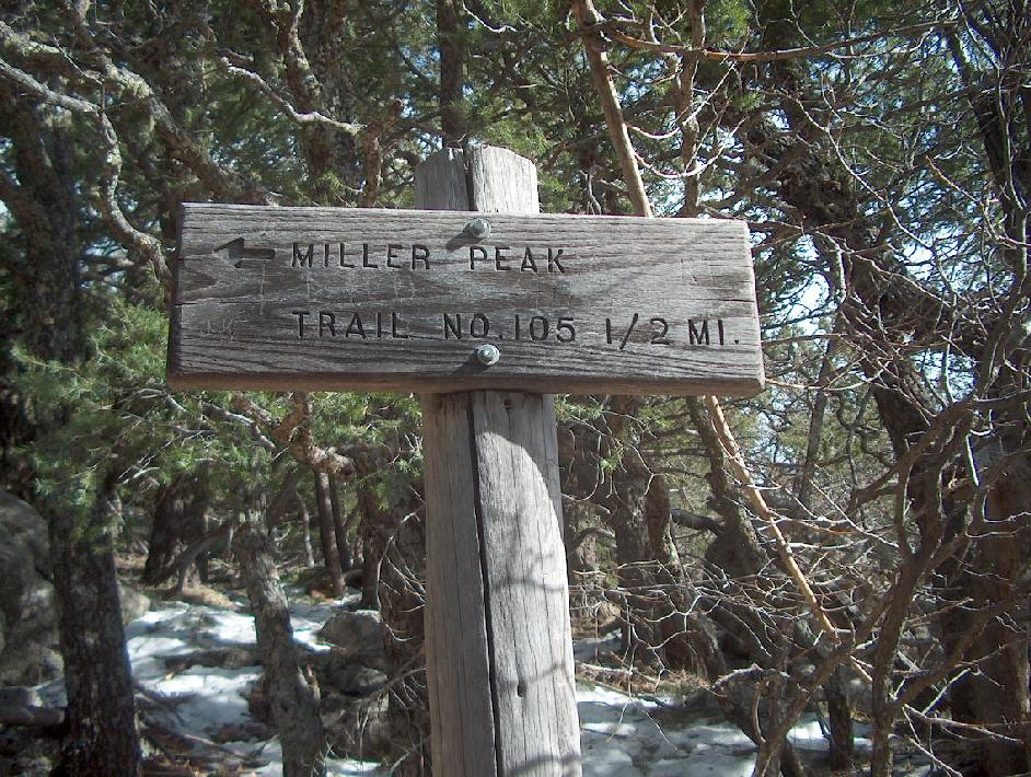
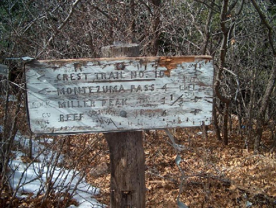
Finally a sign, only half a mile to go, sounds easy, well you do it. It was quite steep but I had already come 5 miles.
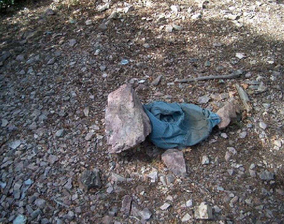
Look what I saw, a nice pair of jeans left by the Mexicans, I also saw tons of garbage and backpacks.
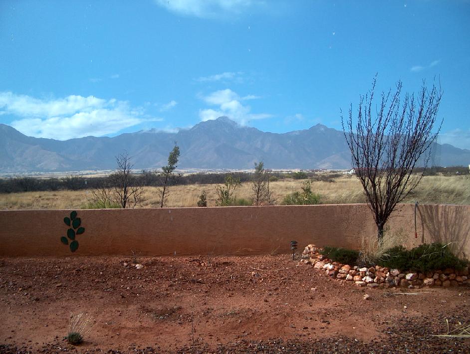
Miller Peak from my sister's house
I made it to the top in only 4 1/2 hours ( my nephew Donald, age 39, made it to the top and back in less than 4 hours TOTAL). It was 48 degrees here.
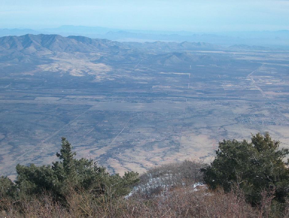
I think I see my sister's house, Mexico is to the right.
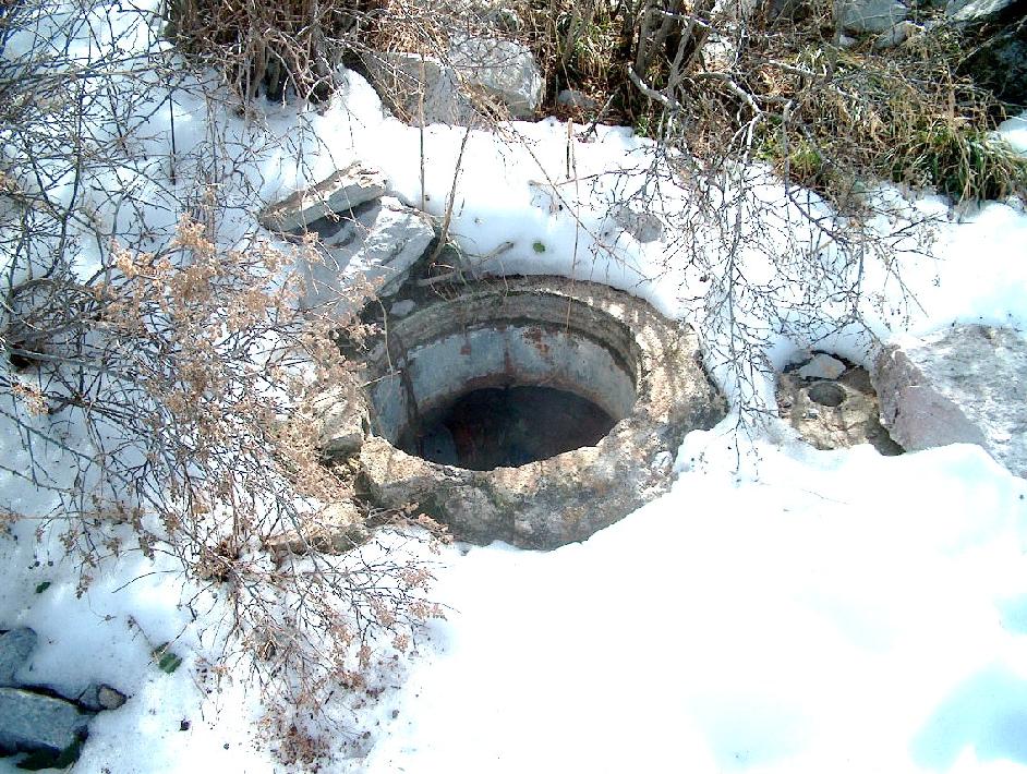
At the top there was a well, I had no clue why there would be such a thing at the top.
I saw this view on the way down, strangely I do not recall seeing it on the way up?
Coming down the signs were a little less clear.
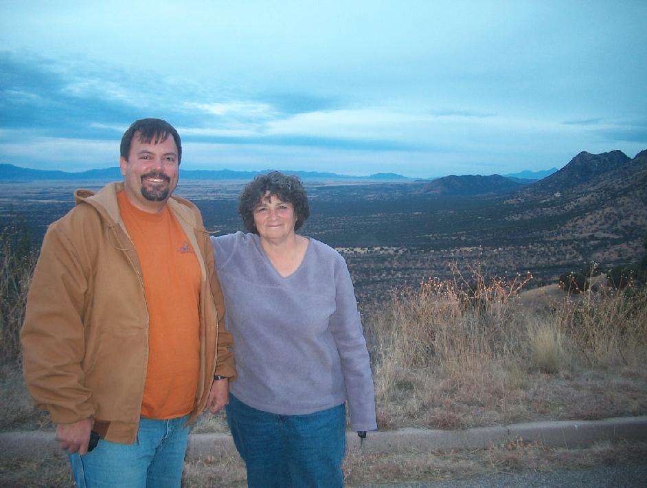
This picture is directly related to my hike DOWN from Miller Peak. On the way down I missed a sign or misread it and took the wrong trail down. I realized I was on the wrong trail for sure when I saw a cave that I never saw on the way up. Decision time, go back UP and try to find where I went wrong or continue down. If I went up it was unclear if I would get out at all, if I went down I was bound to come out near civilzation. However as I had allowed extra time I had no idea where I was so I accelerated my walking to Samantha speed. I ran out of water, ate snow and seriously thought I might sleep in the woods. I did have a cell phone, (no service), ham radio, compass, altimeter and flashlight. The compass and altimeter told me when I might reach the desert plain (my GPS broke). I finally saw a house but only the horses were there. A few more feet I got cell service, called my sister who wanted to call search and rescue. I convinced her that I might shortly locate myself, which I did on Ash Canyon road. She conned her co-worker above to get me as I was 10 miles from the car. I was picked up by the pictured people, as you can see close to sunset. I was told the trail was one of the most difficult in the Arizona. I was stupid as my daughter said,
"you
are insane. you should not be doing this sort of thing alone, it
is obviously completely unsafe. you could have died. some things
are
not so much solo sports, especially with zero proper training at
62
years old. dont ski alone, dont dive alone, and dont go hiking
a mountain you dont know alone. you are gonna kill
yourself."